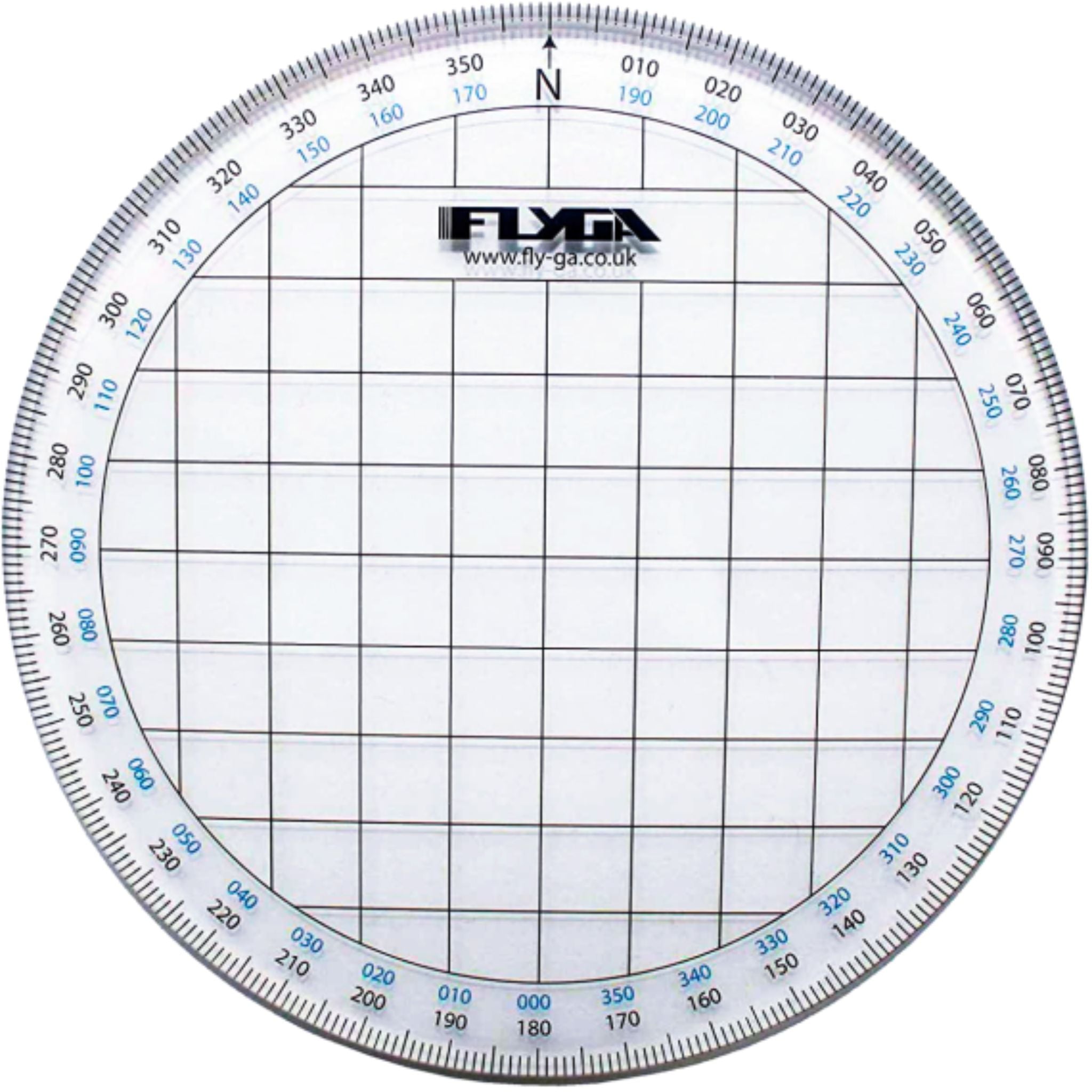
Plot accurate headings with confidence using the FlyGA VFR Aviation Protractor - an essential navigation tool for pilots working with topographical charts.
Key Features:
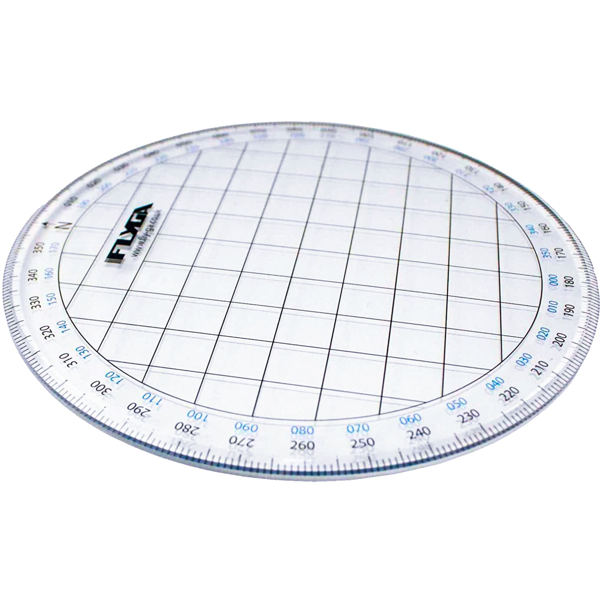
- 110mm transparent square protractor for clear chart visibility
- 0–360° outer scale with reciprocal headings inset
- Clearly marked centre point and North (N) reference
- 13mm grid squares (equivalent to 4NM) for easy plotting
- Suitable for fixed-wing, helicopter & marine navigation
- Ideal for EASA PPL training and skills test use
Designed for precision and ease of use, this VFR protractor allows pilots to quickly and accurately plot headings and tracks directly onto aviation charts. The transparent design ensures full visibility of underlying map details, while the clearly defined centre point and North reference help reduce errors during navigation planning.
The 0–360° scale, combined with reciprocal heading markings, makes it simple to determine bearings in both directions — saving time and improving efficiency in both planning and in-flight adjustments.
Built to meet the needs of flight instructors and PPL students, the FlyGA Aviation Protractor is a reliable, cockpit-ready tool that supports accurate navigation for pilots and mariners alike.